A Maryland-based civil and environmental engineering practice.
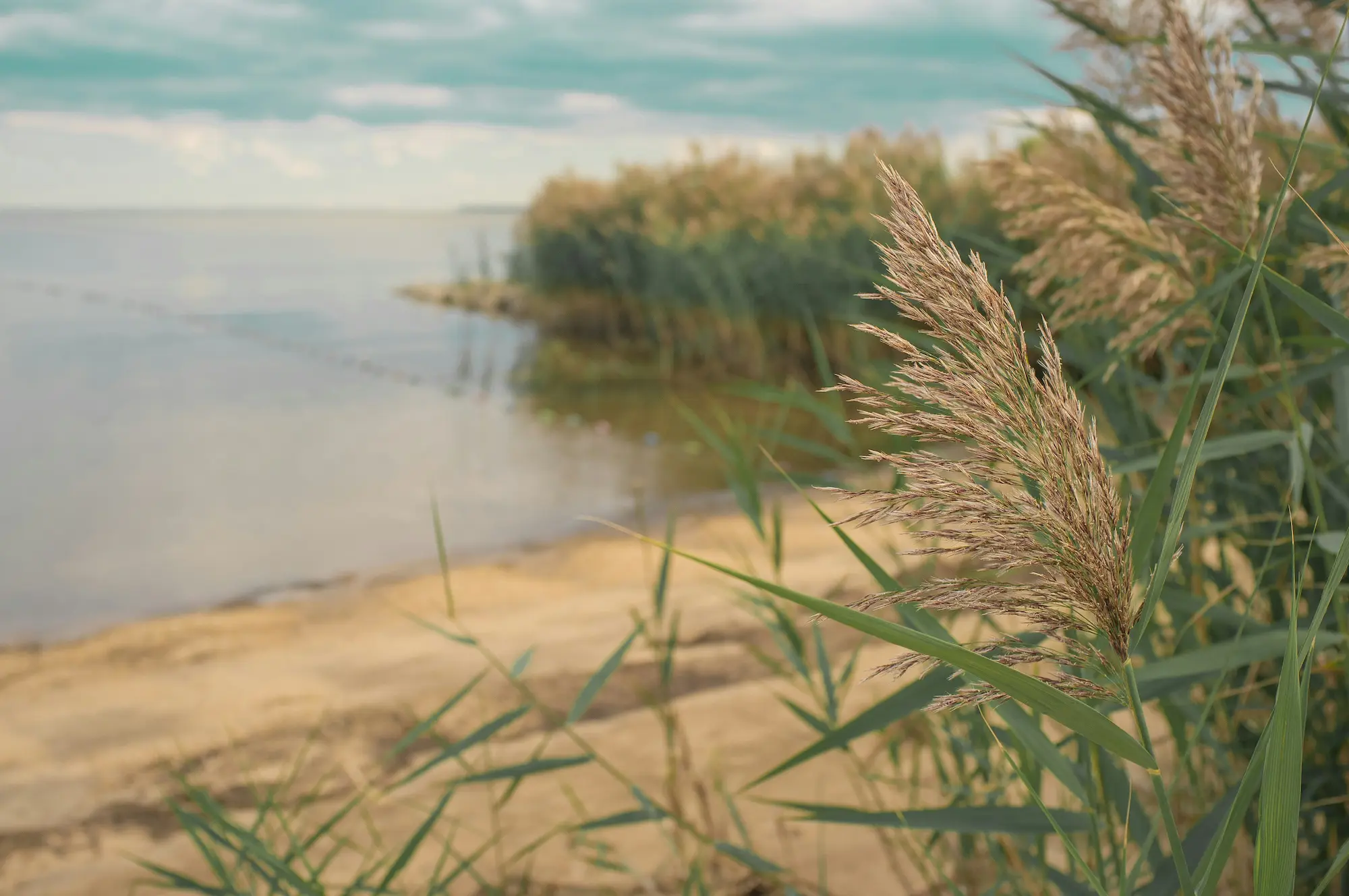
Atlantic. Mediterranean. Pacific. AMP.
Atlantic. Mediterranean. Pacific. The reach is in the name.
AMP Environmental Design provides civil and site development engineering services across the Atlantic, Mediterranean, and Pacific regions — a scope reflected in our name: AMP. With Professional Engineering licenses in Maryland, Virginia, Delaware, and Nevada, plus active design experience in Spain, we bring a global perspective to local infrastructure problems.
AMP is a senior-led practice. Every project is designed, sealed, and managed directly by a licensed Professional Engineer — clients work with the principal from kickoff through construction.
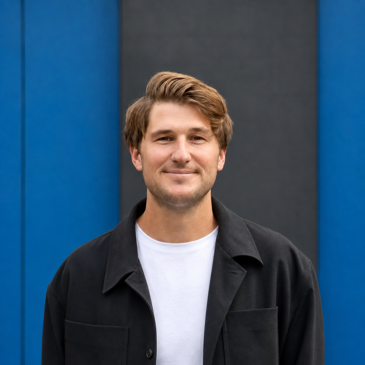
Adam Lawton, PE — Principal & Founder.
Adam is a licensed Professional Engineer in Maryland, Virginia, Delaware, and Nevada, with over a decade of civil and environmental engineering experience across the Mid-Atlantic. Before founding AMP, he led drainage, grading, utility design, and Environmental Site Design projects at WBCM and Kimley-Horn — including parks, athletic facilities, residential subdivisions, federal and military contracts, and municipal stormwater infrastructure.
Educated in Spain before completing his B.S. in Environmental Engineering and MBA at the University of Delaware — where he also served as Head Coach of the Division I tennis program — Adam is fluent in English and Spanish and serves clients in both languages across the United States and Spain. Born in England and raised in the UK, South Africa, Indonesia, Cuba, Russia, and Spain, he brings an international perspective to civil and environmental engineering. He founded AMP to build a senior-led practice focused on water quality, flood mitigation, and innovative site design.
Ten years of practice. Four states licensed. One stamp on every plan.
The stack behind the stamp.
Site & grading design
Corridor and surface modeling, profiles, earthwork balance, finished-floor reconciliation. Drawings exported against jurisdiction-specific layer standards.
SWM routing
Pre/post peak comparisons, ESD facility routing, dam-safety classification, calibrated against MD 2000 manual targets.
Floodplain modeling
1D and 2D steady and unsteady-flow modeling for riverine, urban, and coastal-adjacent systems. FEMA-grade output documentation.
Water modeling
Distribution network hydraulics, fire-flow analysis, pressure-zone evaluation, tank and pump operation simulation.
Photogrammetry
DJI Mini 5 Pro missions processed against RTK ground control. Design-grade orthomosaics, contours, and meshes for civil downstream.
GIS & LiDAR
Point cloud processing, base mapping integration, jurisdictional layer overlays for review submittals.
Visualization
3D site and building visualization for public meetings, HOA reviews, and design review boards.
Field positioning
Survey-grade RTK GNSS ground control for centimeter-level photogrammetry registration to project coordinate system.
Start a project or reach out.
If we're not the right fit, we know people who are.
Start a project