Six disciplines, and growing.
The six below are where most engagements start — not where the practice ends. Send the address.
Capture. Model. Visualize. Deliver.
Capture
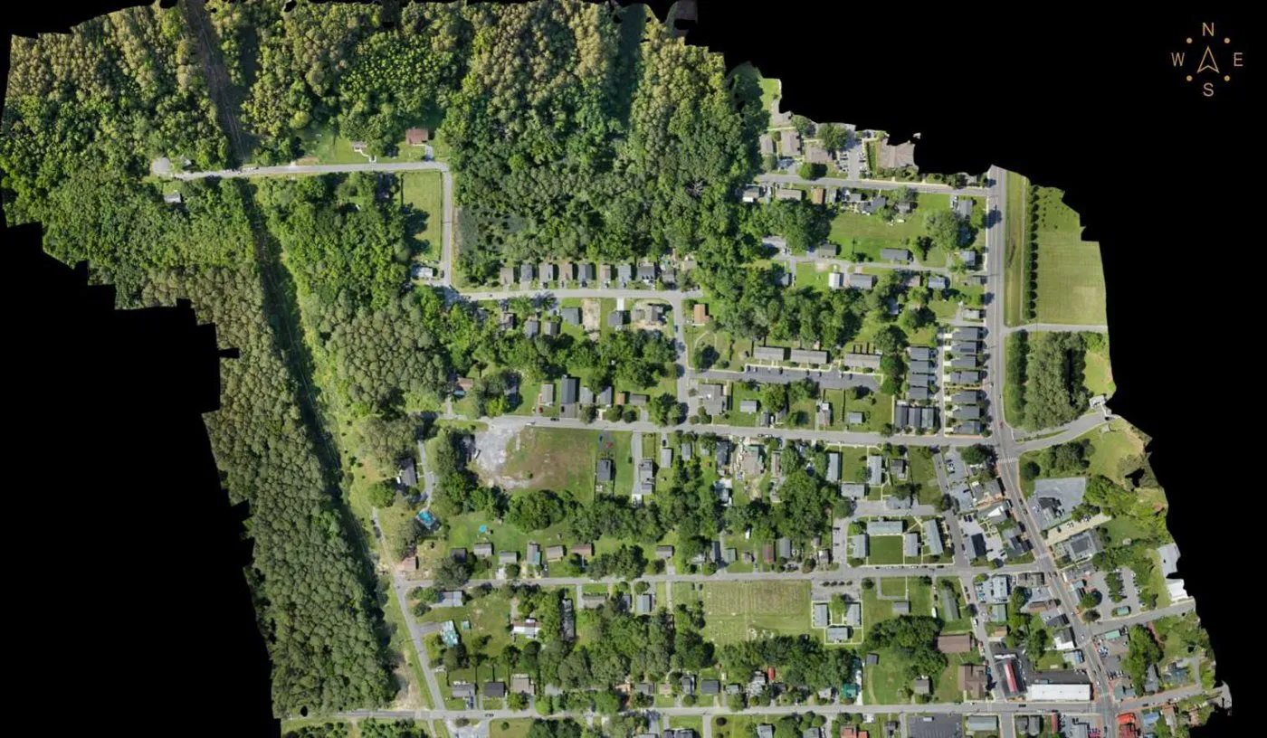
Emlid RTK GNSS on every structure and grade break (NAD83(2011)/NAVD88). FAA Part 107 orthophotos and photogrammetric terrain where airspace allows; county LiDAR and aerials where it does not.
Model
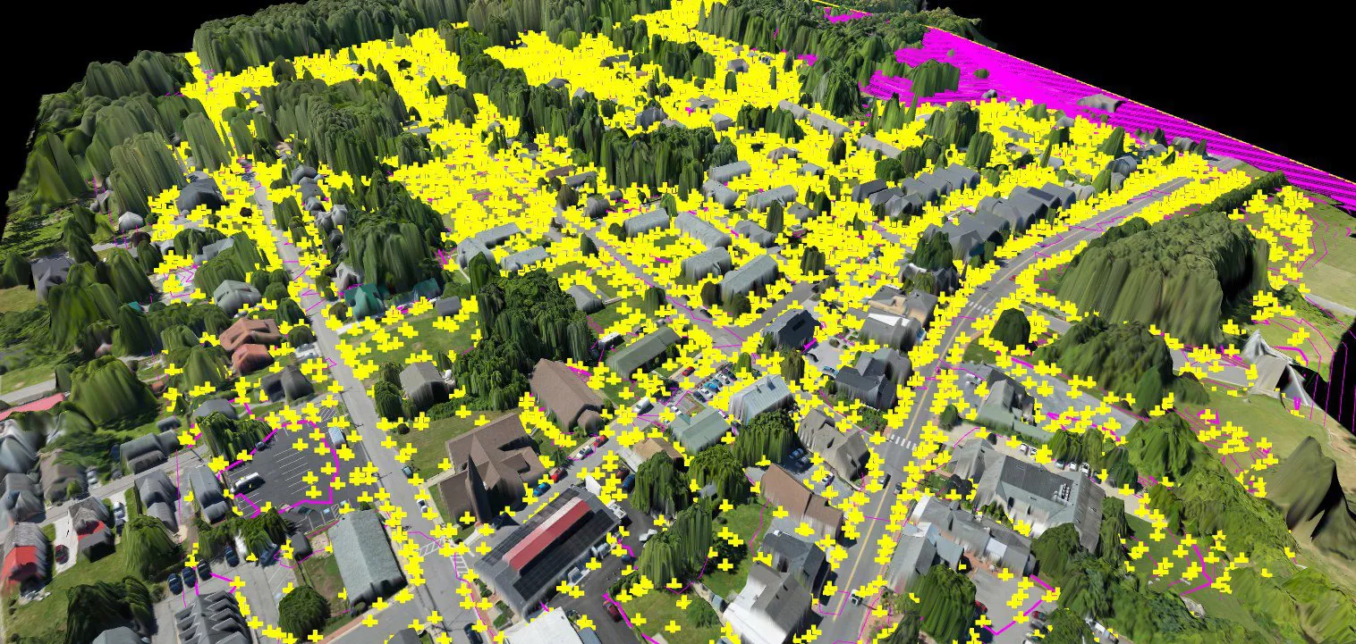
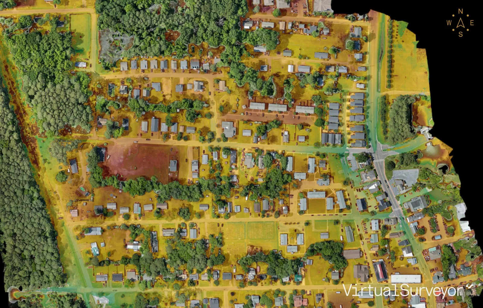
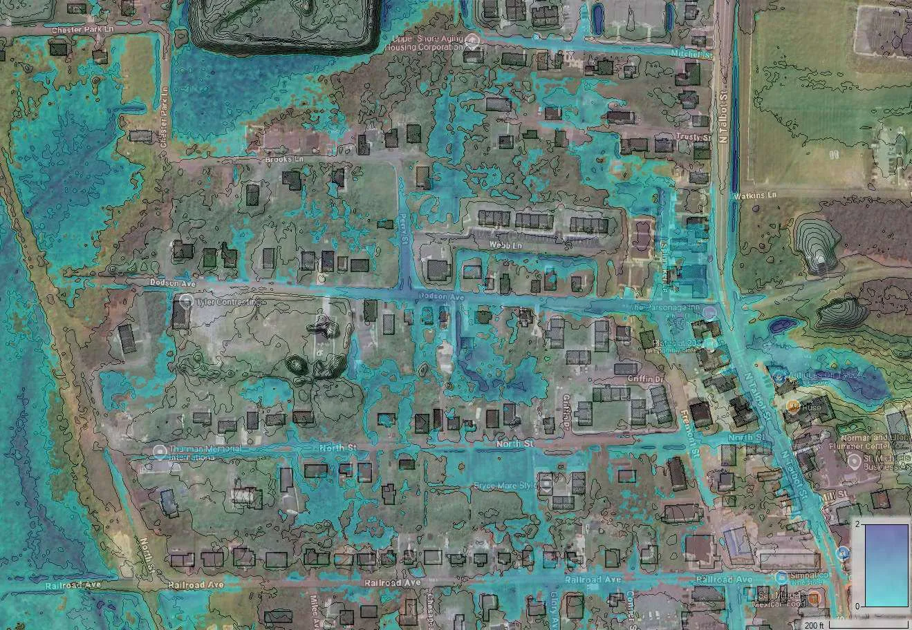
Civil 3D surfaces, NRCS hydrology, and HEC-RAS 2D rain-on-grid — where water collects, which inlets it bypasses, and what each alternative changes.
Visualize
3D models of the proposed practices and concept sketches over the site imagery, so the choice is understood before design dollars are committed.
Deliver
A browser dashboard the owner keeps — every structure searchable with photographs, elevations, condition, and review status — plus organized CAD and GIS.
How a typical project moves through the practice.
Site visit & base mapping
Drone overflight, RTK ground control, and the first read on jurisdictional review pathway. Sets the design envelope before a line is drawn.
Concept design
Civil 3D model, preliminary engineering analysis, and a concept review with the agency reviewer to surface objections before they become comments.
Final plan submission
Approval-ready package with full calculation set, agency response-to-comments, and the documentation each jurisdiction requires. Tracked through approval by the PE.
Construction close-out
Site visits at agency intervals, RFIs, as-built drafting, and final certification stamp on completion. We close out the projects we design.
Have a project in mind? Send the address. We'll run a feasibility check.
A response within two business days from a Professional Engineer, with the jurisdictional scope and likely permit pathway already mapped out.
Start a project